
We pay attention to children education, and actively launch education-related public welfare activities in multiple regions across the country.
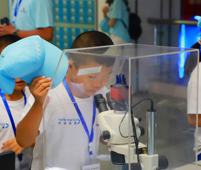

We pay attention to the influence of sci-tech power on the growth of adolescents, and actively organize sci-tech summer camps of different themes.
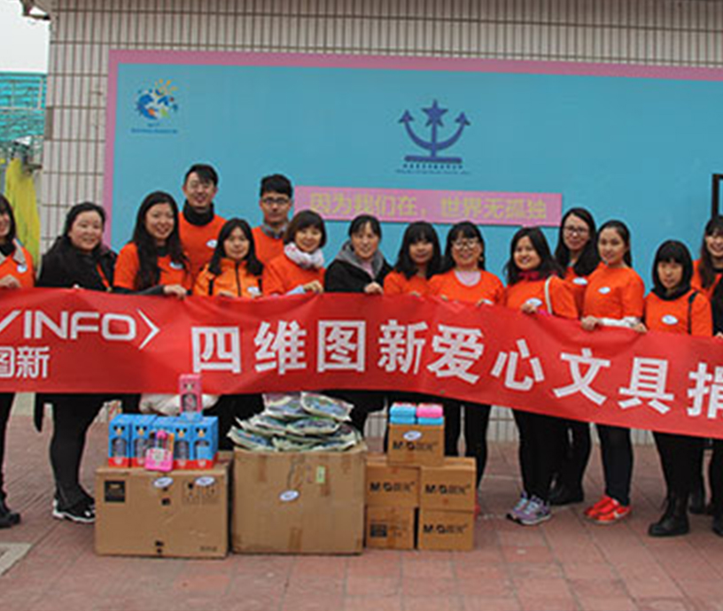

We adhere to the concept of giving back to society with technology, and actively organize volunteer service activities among our employees.
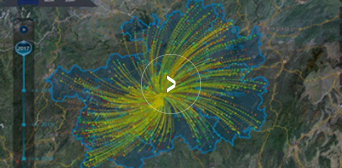
Based on the “Guizhou-Cloud Big Data” environment, the MineData big data platform upgrades and transforms the “Poverty Relief Cloud” platform throughout Guizhou for precise poverty relief with big data.

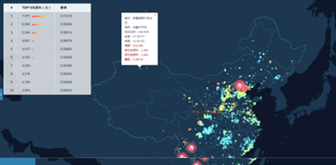
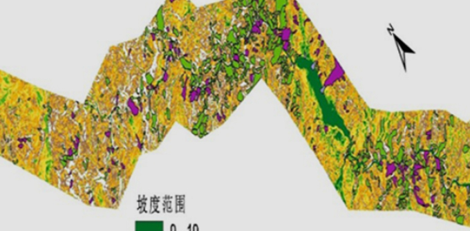
Based on the MineData big data platform, combined with the geologic structure, characteristics of seismic activities and architectural structure information in China, use geographic information science like remote sensing and maps and technologies like big data analysis to analyze the earthquake catastrophe model suitable for China’s national conditions, so as to provide precise positioning and rapid decision-making reference for disaster management.
After the earthquake in Wenchuan and Mianyang, NavInfo responded quickly, and adopted geographic information technologies to analyze and draw useful information, including location, area, size and distribution of the disaster, from high-resolution satellite images of the disaster-stricken areas as strong support for rescue guidance. Moreover, we collected high-precision topography and image information via airborne laser radar to assist in post-disaster reconstruction and ecological restoration.
Use drones to take aerial photos and oblique photos to provide data support for the rescue after disaster, and master on-site situations in real time.

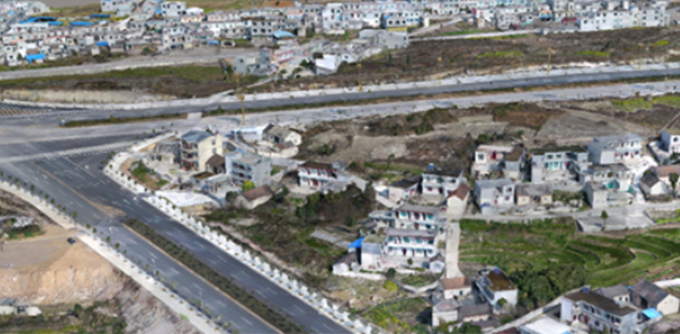
Set up dynamic monitoring stations in the areas prone to disasters to monitor the terrain movement situations in real time, provide early warning on disasters, and assist the authorities concerned in preparing contingency plans. So far, it has been applied in such projects as Kuqa-Aksu Expressway in Xinjiang and Qingshui River Bridge in Guizhou.

Built on big data, electronic fencing and positioning technologies, One Two Three, a start-up incubated by NavInfo, has launched “Fruit Bunny” for child lost prevention, and embedded the Seeking for Lost Children program into the product to boost the public welfare of finding missing children. It brings back hope and light for families with lost children, and become a beacon to guide the children home.
 Email:info@navinfo.com