
We provide traffic flow status information of designated areas and roads, which has covered 340+ cities in the Chinese mainland, as well as Hong Kong and Macau regions, supporting update in every minute and 100m high-precision expression and meeting multiple global technical standards including TPEG, TMC and RTIC.
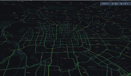
With the data covering 340+ cities nationwide, we can provide 7*24H historical average speed of a designated road section or position, which will be used for route planning optimization and ETA accuracy improvement for in-vehicle devices, as well as traffic law research, exhaust gas discharge, and energy consumption model building for governments and enterprises.
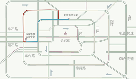
Future road conditions, including road traffic conditions after any minute, can be forecasted based on the historical data and current data. Currently, it supports long-term forecast for 340+ cities and short-term forecast for 80+ cities around the country, so that drivers can learn about future traffic conditions as a whole before driving off in a car, and get a clear picture of the changing trend of surrounding road conditions along the journey.
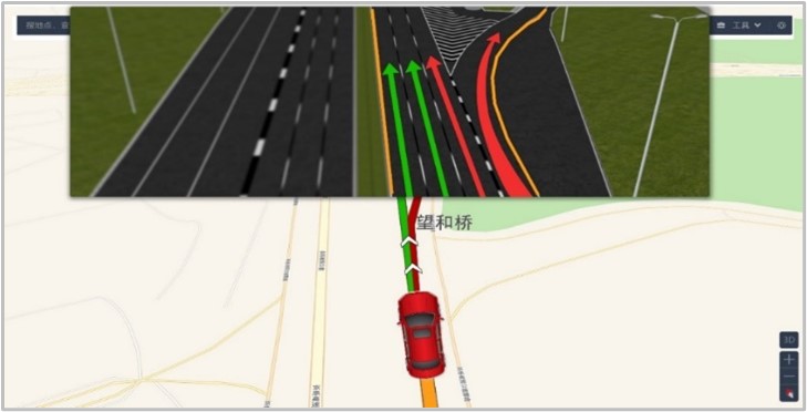
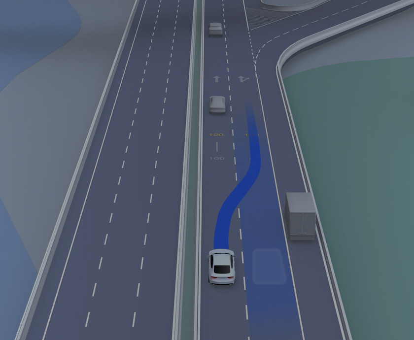
Based on enormous high-frequency feedback data and smart lane estimation model, we provide information of road conditions by lane direction, so that drivers are aware of the turning information, speed difference, average driving speed and traffic status of various lanes when approaching a junction, and then optimize their driving route to improve mobility efficiency.
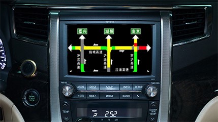
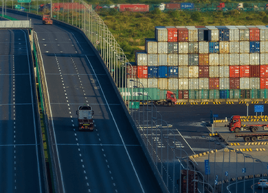
We provide real-time information of traffic flow, restriction and incident of intercity expressways, urban expressways, urban transport arteries and major business areas with simple, clear graphs, to assist drivers in adjusting their driving route along the journey. Currently, it has covered 76 cities and 3 economic circles.


Covering 340+ cities

Precise positioning based on multi-source

Update per minute

Support TPEG/RTIC/ERTIC and other standards
traffic restrictions based on the last digit of license plate numbers

traffic control

traffic accident

Construction road occupation
Seal off the road


Waterlogging on the road

Snow on the road

Slippery road

Low visibility
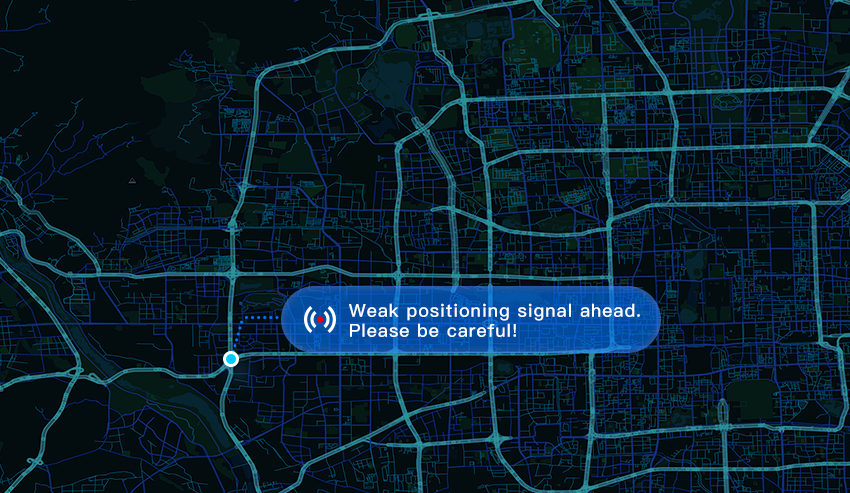
It covers high-precision incident information service, dynamic speed limit information service, road weather information service, speed assistant service, friction coefficient information service, hazardous vehicle alert service, weak positioning signal area service, hazard alert service and autonomous driving activation service, etc., to ensure safer autonomous driving.

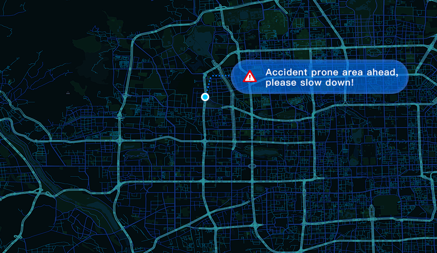
We provide analysis services of historical traffic jam trend, historical risk video data, accident-prone location, as well as the areas prone to dangerous driving, so that we can supply autonomous driving test with optimal road choice.
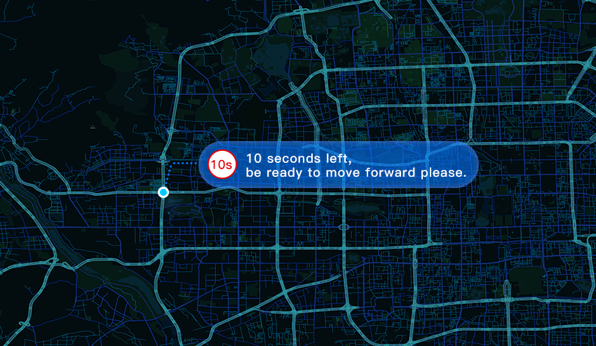
We provide such services as traffic signal countdown, green wave speed suggestion, red light violation warning, green light notification, and alert for giving way to emergency vehicles, so as to promote innovative application of autonomous driving technologies.
 Email:info@navinfo.com